Operators of pleasure craft which are not propelled by oars are responsible for carrying on board the most recent editions of the largest scale charts, as well as required publications and documents for each area in which their craft will be navigated.
Charts are graphic representations of water areas, and show water depths, underwater hazards, traffic routes, aids to navigation and adjacent or nearby coastal areas. Published by the Canadian Hydrographic Service (CHS), Department of Fisheries and Oceans, these charts are intended to assist mariners with navigation. To obtain more information on charts and water levels go to: www.tides.gc.ca or call 1-877-775-0790.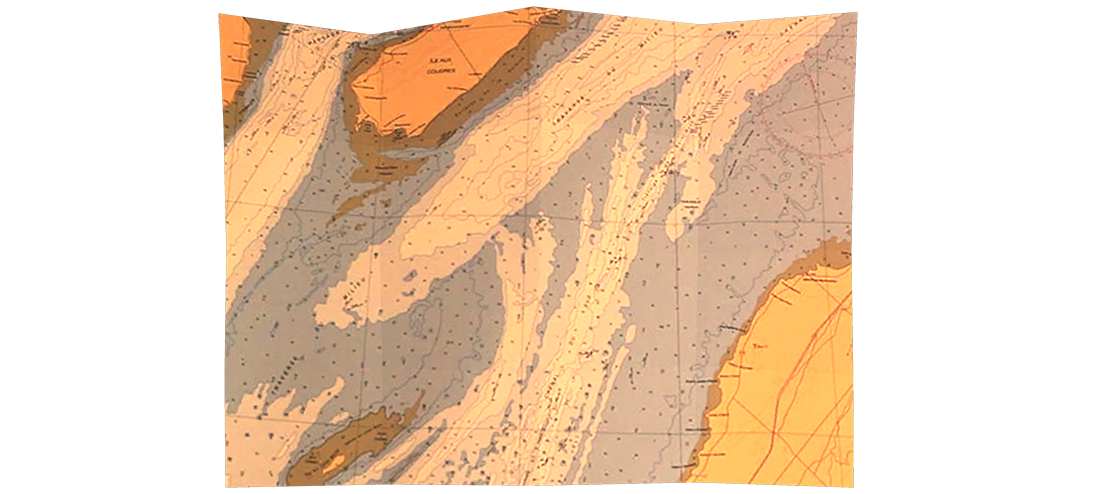
Topographical Maps are maps of land areas and show both the natural and artificial features of the land. These features include elevation contours, shorelines, rocks, land features above water, and cultural features. Intended for the general public, these maps are published by Natural Resources of Canada and some provincial authorities. Topographical maps are sometimes used by boaters when “charts” are not available, but they do not provide details regarding underwater hazards, marine aids to navigation, channels, or anchorage areas. Operators should be sufficiently informed about: location and character of charted shipping routes, lights, buoys and marks, and navigational hazards, before heading out. Supplemental information is provided in publications like: Notices to Mariners, Cruising Guides and Sailing Directions.